
Search results
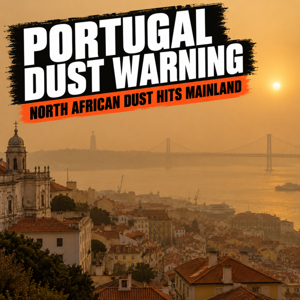
Portugal Warns Residents as North African Dust Cloud Worsens Air Quality
Portuguese authorities have warned the public about deteriorating air quality across most of the country’s mainland territory as a large mass of dust is carried north from the desert regions of North Africa. Portugal’s Directorate-General of Health said elevated concentrations of airborne particles are affecting almost the entire mainland, with the most significant impact expected in central and southern regions. The concern centres primarily on naturally occurring PM10 particles, which can enter the respiratory system and have a particularly strong effect on people with chronic health conditions. The country’s meteorological service has linked the episode to a persistent flow of very hot and dry air from the south and southeast.The warning was issued on 3 September 2026, while the Portuguese Institute for Sea and Atmosphere said dust would remain present in the atmosphere on 4 and 5 September. Health authorities advised the public to avoid prolonged physical activity outdoors and to reduce exposure to additional irritants, including tobacco smoke. Children, older people, patients with asthma or other chronic respiratory conditions, and those with cardiovascular disease were advised to remain indoors where possible and keep windows closed. People taking prescribed medication were also urged not to interrupt their treatment and to seek medical assistance if their condition noticeably worsens.
France Records Its Hottest Summer Since National Measurements Began in 1900
France officially ended the summer of 2026 with a climate record that goes far beyond ordinary seasonal statistics. According to Météo-France data published on September 3, 2026, the average temperature across June, July and August reached 24.0°C, which was 3.6°C above the climatic norm. That made the summer of 2026 the hottest in France since systematic national measurements began in 1900. The country also experienced a record 53 days of heatwaves across three major episodes, while rainfall was almost 40% below normal. For France, this was not simply another temperature record but a season in which several extremes occurred at the same time and reinforced each other.The structure of the record is just as important as the headline temperature. The summer of 2026 was not only the hottest on record but also the second driest since measurements began. That combination of extreme heat and severe rainfall deficit sharply increased pressure on agriculture, water supplies, energy systems, public health and wildfire prevention. Météo-France says such a summer would have been virtually impossible without climate change, even if events of this severity remain relatively rare in the current climate. The significance therefore lies not only in the meteorological record itself, but in how quickly extreme weather is turning into an economic, social and infrastructure challenge for France.The most striking feature of the season was the duration of the heatwaves.
UN Warns El Niño Could Become One of Strongest Ever Recorded
The World Meteorological Organization warned on 3 September 2026 that the current El Niño continues to strengthen rapidly and is expected to move into the “very strong” category in the coming months. WMO estimates the probability that the climate phenomenon will persist at least until February 2027 at almost 100%, marking an exceptionally high level of confidence in its official outlook. Unusually warm waters across the equatorial Pacific are creating conditions for further intensification and increasing the likelihood of major disruptions to temperature and rainfall patterns across different parts of the world.The most concerning part of the new warning is the potential scale of the event. WMO officials say that if the current trajectory continues, El Niño could become stronger than anything recorded during roughly four decades of modern monitoring. That does not mean every country will experience the same catastrophic weather: El Niño’s effects vary greatly depending on region, season and interaction with other climate systems. However, a very strong event significantly raises the risk of extreme heat, prolonged drought, intense rainfall and flooding, while its impact on global temperatures could continue beyond the expected peak at the end of 2026.El Niño is associated with the periodic abnormal warming of the central and eastern equatorial Pacific Ocean. Changes in ocean temperature alter large-scale atmospheric circulation and can influence weather far beyond the Pacific region itself.
Italy Faces Sixth Heatwave With Temperatures Up to Eight Degrees Above Average
Italy is preparing for its sixth major heatwave of the 2026 warm season, with forecasters expecting a sharp rise in temperatures between 4 and 9 September. Meteorologists from iLMeteo.it say the new period of intense heat will be driven by a strong subtropical anticyclone extending from North Africa across much of central Europe. Temperatures across parts of Italy are expected to climb as much as 8°C above the seasonal average for the first half of September. National forecasts point to widespread highs of 37–38°C, while some areas could approach 39°C. The heat will affect northern, central and southern regions, making the beginning of September feel much closer to midsummer than to the start of meteorological autumn.The strongest anomalies are expected in inland areas and major cities, where urban surfaces can intensify daytime heat and slow cooling after sunset. Milan could reach 34–35°C, placing temperatures close to the city’s September record of 34.6°C measured in Brera on 1 September 2024. Rome is expected to reach around 35–36°C, close to its September record of 35.6°C, recorded on both 3 September 1982 and 7 September 2024. Some national forecasts indicate that isolated areas could briefly reach around 39°C before the heat begins to ease after 9 September. The event continues a pattern of repeated hot spells that has made the 2026 Italian summer unusually persistent.
Deep activity confirmed beneath Germany’s Laacher See volcanic system after 13,000 years
Processes linked to deep fluids and the residual magmatic system are still continuing beneath the Laacher See volcanic complex in Germany’s Eifel region. A new study published in 2026 in Communications Earth & Environment is based on data collected by an unusually dense network of seismic stations operating across the region from September 2022 to August 2023. During that period, researchers recorded more than 500 local microearthquakes and identified evidence of fluid-rich zones at depths of roughly 12 to 14 kilometres. Scientists believe these zones may be connected with the continued movement of magmatic gases or other fluids from deeper parts of the crust. The findings confirm that the geological system beneath the Eifel is not completely inactive despite the enormous period of time that has passed since its last major eruption.The results do not mean that a new eruption of Laacher See is approaching. Researchers did not identify the kind of sequence of changes that would normally be interpreted as preparation for an imminent volcanic crisis, and deep seismicity or fluid movement can continue within volcanic systems for very long periods without developing into an eruption. The structure at 12 to 14 kilometres depth is also being interpreted cautiously as a fluid-rich zone rather than definitive proof of a large body of molten magma.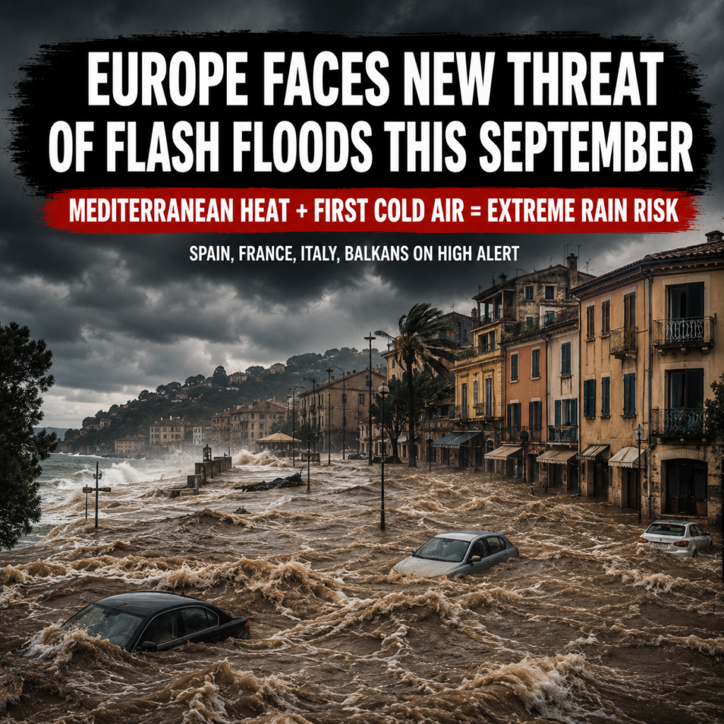
Europe enters September facing heightened risk of destructive flash floods
After an exceptionally hot summer in 2026, southern Europe is facing a weather threat very different from the heatwaves, drought and wildfires that dominated the previous months. The Mediterranean Sea has accumulated an enormous amount of heat, with sea-surface temperatures in many areas remaining well above normal seasonal levels. Particularly strong positive temperature anomalies were recorded across parts of the western Mediterranean during August. Warm water alone does not mean that flooding is inevitable, but it creates a vast reservoir of moisture and energy that the atmosphere can draw upon when the first colder air masses begin moving into the region. This is why September and October are traditionally among the most dangerous months for sudden Mediterranean downpours.The main risk zone stretches from eastern and southern Spain through southern France and northern Italy toward the Adriatic and the Balkans. After months of heat, soils in many areas are extremely dry, vegetation has been damaged by wildfires and some catchment areas are less capable of absorbing intense rainfall. If a slow-moving cold-air system or isolated upper-level low develops over the exceptionally warm sea, huge quantities of water vapour can rapidly feed powerful thunderstorms. In only a few hours, a relatively small area can receive rainfall comparable to an entire normal month.
Italy split between extreme heat in the south and severe storms in the north
Italy is ending August under an increasingly unusual and dangerous weather pattern, with the country effectively divided between two opposite climatic extremes. Central and southern regions, Sicily and Sardinia are experiencing temperatures above 40°C, while parts of Calabria have exceeded 44°C. At the same time, northern Italy is facing severe thunderstorms, torrential rain and hail. This is already the fifth major heatwave of summer 2026, and forecasters warn that a return to normal seasonal temperatures may not come even with the beginning of September.The latest heatwave reached its peak on 28 August. Across central and southern Italy, temperatures were around 8–10°C above the seasonal average. One of the highest readings was recorded at Torano Scalo in the province of Cosenza, where temperatures reached 44.6°C. Cosenza itself climbed to around 42.5°C, San Cosmo Albanese reached 41.7°C, and many other locations in Calabria remained close to or above 40°C. Sicily and Sardinia also experienced temperatures of approximately 43°C.High humidity is making conditions even more difficult. In many areas, the perceived temperature is at least five degrees higher than the actual reading. Night-time temperatures are also providing little relief, remaining close to 30°C in some locations. These so-called tropical nights are particularly dangerous because the human body has little opportunity to recover from the heat accumulated during the day.